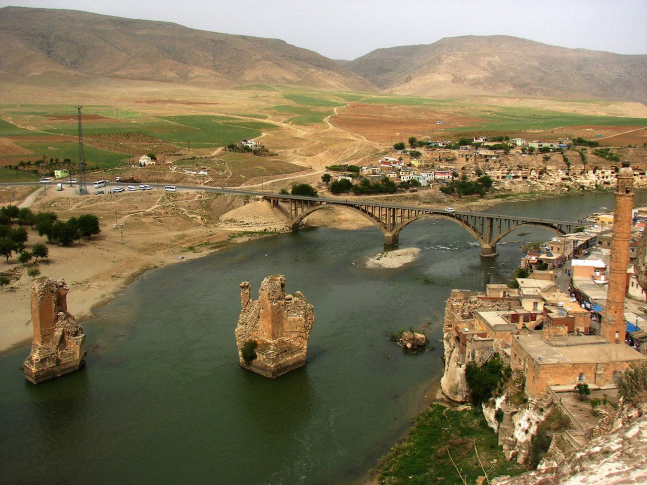
The South-eastern Anatolian Project is Turkey’s largest and most multifaceted development project, and also, one of the largest development projects in the world. The project includes active farming with extensive irrigation systems and electricity production; following these are tourism, mining, petrol, education, health, communication, industry and transport sectors. The South-eastern Anatolia Project covers the lower parts of the Firat and Dicle rivers; and Gaziantep, Sanliurfa, Adiyaman, Diyarbakir, Mardin, Siirt, Batman and Sirnak, which are situated on the plains between the rivers. This project will also bring with it a change in climate to the area. The Atatürk Dam and Hydroelectric Plant, the largest in Turkey and the sixth largest in the world, is situated in the Bozova town of Sanliurfa. Atatürk Dam, which is the major foundation of the South-eastern Anatolia Project, is important not only for energy production but also for irrigation. The water obtained from the reservoirs of the Atatürk Dam on the Firat river is going to be carried to the Harran plain by the Sanliurfa Tunnel System. The Sanliurfa Tunnel System is the largest in the wodd, in terms of its length and flow rate. The waters of the Firat river will pass through tunnels which are 26.4 kilometers in length and 7.62 meters in diameter, and be distributed to the vast cropland on the South-eastern Anatolian plains from central and side channels, bringing a production boom and prosperity to the region. To travel along Turkey’s Southern border, take the highway which connects Gaziantep, Sanliurfa and Mardin to Syria and Iraq, Gaziantep, located on a wide and fertile plain cultivated with extensive olive groves and vineyards, produces a variety of agricultural crops.


0 Comment